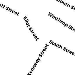
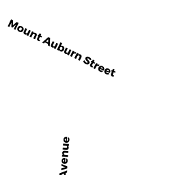
65 MT AUBURN ST
Owner Information
MOSKOW, ABRAHAM & MICHAEL B
1350 MASSACHUSETTS AVE
CAMBRIDGE, MA 02116-3912


Property Details
65 MT AUBURN ST is classified as a Mixed Use (Primarily Residential, some Commercial) (Apartments).
The primary structure on this property was built in 1925. There are 9681ft2 of built area within this property. There is 22589ft2 of residential/living space within this property. There are 31 units within this property.
65 MT AUBURN ST is valued at 12179300. The land is valued at 6286800 and the structures are valued at 5892500.
This property is in Zone BB-HSQ. Confirm with local Zoning Board authorities to ensure there are no overlays or other easements on this property.
The most recent deed for 65 MT AUBURN ST is recorded at the local registrar in Book 12138, Page 0136. 65 MT AUBURN ST was last sold on 1972-01-05 for 1.
Assessment data from fiscal year 2021.
Flood Data
According to the FEMA National Flood Hazard Layer, this property does not appear to be in a flood zone. It may also be in an area not yet reviewed. Nonetheless, confirm this information prior to taking any action.
To view the flood hazards around this property, create a FEMA "Firmette" Map of the area around 65 MT AUBURN ST.
Broadband Internet Providers
| Provider | Type | Bandwidth (mbps) | |
|---|---|---|---|
| VSAT Systems, LLC. | Satellite | 2 | 1 |
| GCI Communication Corp. | Satellite | 0 | 0 |
| netBlazr Inc | Fixed Wireless | 50 | 50 |
| Crown Castle Fiber | Fiber | 0 | 0 |
| Starry, Inc. | Fixed Wireless | 200 | 200 |
| Comcast | Cable | 1000 | 35 |
| MCI | Copper Wire | 0 | 0 |
| Viasat Inc | Satellite | 100 | 3 |
| Verizon New England Inc. | DSL | 15 | 1 |
| HughesNet | Satellite | 25 | 3 |
Broadband service provider data from December 2020.